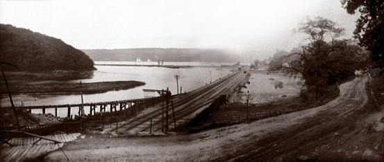
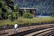
View of the railroad tracks near Spuyten Duyvil in 1890.
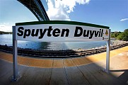
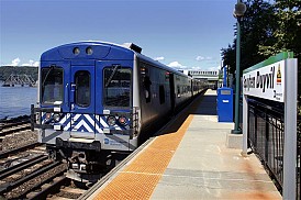
When coming up with superlatives for the Hudson Line, people generally cite it as Metro-North’s most attractive line. I, on the other hand, like to think of it as the most frequently misspelled. It is the Hudson Line that has stations like “Phillip’s Manor” and “Pokipse,” and, of course, the one that takes the cake – “Spitendivel.” Today’s tour takes us to the (correctly spelled) Spuyten Duyvil, a station about 10 miles north of Grand Central Terminal in the Bronx. Considering that it is a station that is frequently misspelled, as well as rather attractive, it seems to be a good representation of the Hudson Line.
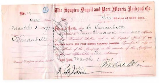
Stock certificate for the Spuyten Duyvil and Port Morris Railroad Company
As I am sure you could gather, the name Spuyten Duyvil is clearly not from the English language. The name derives from the Dutch Spuitende Duivel, which means spouting devil. First bestowed on the creek nearby, the name was later adopted for the train station as well. Historically, there was also a railroad that bore the name – the Spuyten Duyvil and Port Morris Railroad Company. It was leased to, and later incorporated into the New York Central and Hudson River Railroad, which allowed that road to connect with the Harlem Railroad at Mott Haven.
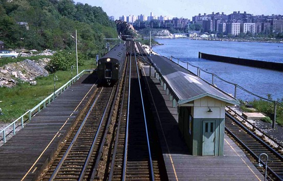
Spuyten Duyvil station in 1958.
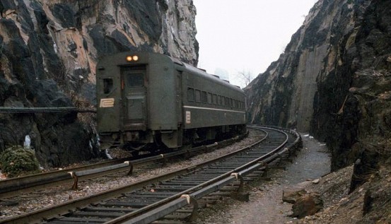
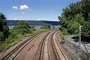
1975 view near Spuyten Duyvil.
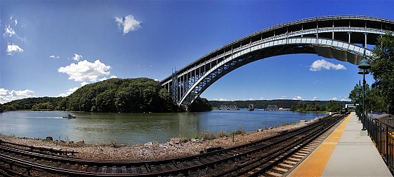
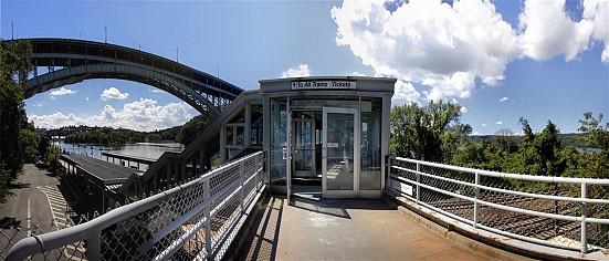
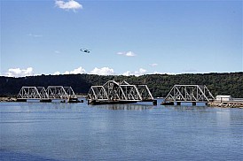
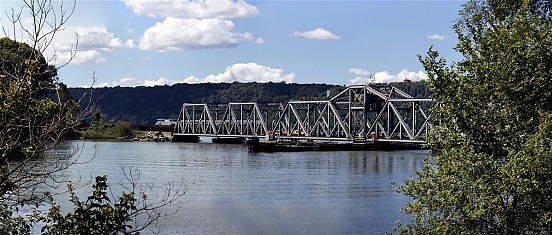
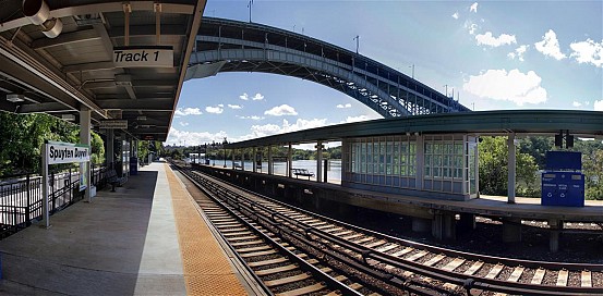
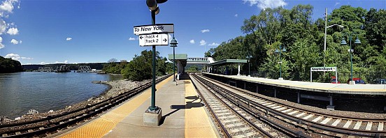
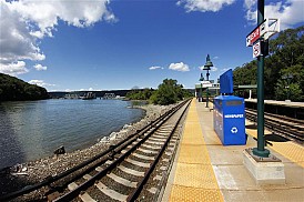
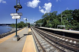
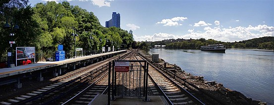
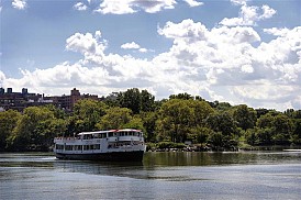
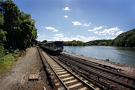
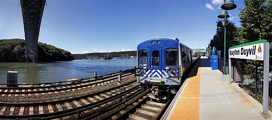
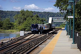
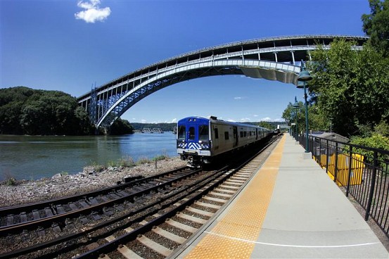
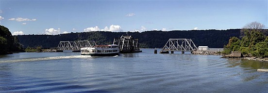
I don’t think there is really too much else to say about Spuyten Duyvil, other than the fact that it really is an interesting spot. Located right on the water, you can watch the Circle Line and other boats sail up and down the river. Right above your head is the Henry Hudson bridge, which provides an interesting vista very much unlike any other Metro-North station. Just north of the station is an old rail tower that is no longer used, which is visible in a few of my photos from the station. Also north of the station is where Amtrak diverges, and the tracks cross the river via a swing bridge which is visible from the platform. The swing bridge is definitely interesting to watch, it opens and closes somewhat frequently to accommodate around 30 trains that pass over it every day.
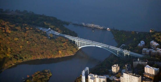
Aerial view of Spuyten Duyvil. The Henry Hudson bridge as well as Amtrak’s Spuyten Duyvil swing bridge are visible. If you look closely you can just make out the Metro-North platform under the bridge.
Anyways, that is all I’ve got for today and Spuyten Duyvil. I must insert a shameless plug here – if you like the historical photos I post along with these Tuesday Tours, you should totally like us on Facebook (if you haven’t already). I’ve been posting a bunch of old photos on there, and I promise something pretty interesting will be happening over there within the next month (shh, it’s a surprise!).






That 1958 photo shows the line was electrified. I always thought that didn’t happen until the MTA took over. Was Hudson electric but not Harlem?
I believe they were both electrified when the current Grand Central was built, Hudson as far as Croton Harmon and Harlem as far as North White Plains. Electrification of the Harlem was extended north (west) of North White Plains when Metro-North took over. I think the power station at Glenwood provided power to both lines. (I’m speaking from memory of what I’ve read on both of these though.)
Glenwood power station was completed in 1906, I believe… so the line was at least electrified up to that point (which is past Spuyten Duyvil). Not sure if electrification extended all the way up to Harmon that early though…
Paging Otto Vondrak – come out of lurker mode for a moment :P
Of course…I should have remembered there was electrification up to North White Plains on Harlem (and some comparable point on Hudson). Must be suffering from brain freeze.
Never Mind, as another Emily (Latella) would say.
What’s also remarkable about the 1958 photo is that the train shown belongs to the New York Central Raliroad, which was still in business at the time. This is also the train line used in Alfred Hitchcock’s 1959 masterpiece film, “North By Northwest”
Great pictures.
Though I have to say I was a bit disappointed that no mention was made of the fact that this station is in The Bronx (land of my birth). I’m also not sure I would characterized the Circle Line boats as ferries. But those are mere quibbles.
Great job (as always).
FTFY.
(fixed that for ya!)
Thonx! (with apologies to Ogden Nash).
The tower you mention was DV,controlled the W30th street branch
where most Mail,Express,and all freight traffic for Manhatten
was sent. 3rd rail extended down to at least to the yard at 60th st.
from the yard, tracks extended to the “Highline” and to many ware-
houses and piers along the way. There were 4 Mail/Express trains
that started on the branch back in 1957 heading west,all were daily
except sunday+monday.
The W3oth st branch survived into the Conrail era,with very few
customers left, then Amtrak,under “orders” to consoladate
their NY City operations bought the branch from Conrail,
rebuilt the branch and the swing bridge for passenger operations
in+out of Penn Station/Sunnyside yard.
The actual connection from Penn Station was built at the same time
LIRR built their west side yard.
According to the New York Central Historical Society page on the Hudson Division, electrification began in the early 1900’s and was completed at Croton in early 1910.
Links, Mr. Dray, links!
Love the site and have been following for a while but this is definitely a station where a “Part 2” is needed. I was hoping to read a lot more. Here are some potential topics: Trackage – one pic shows 3 tracks that seem to go further EAST than now (almost up to the rock cut), the still visible wye track, the rock cut itself, information on the man made creek and how it effected railroading, the odd topography of the station area, effects if any of when the highway bridge opened, info on the West Side line trackage could be a bonus also. This could also very well be the most scenic on all the railroad also.