 Â
  Â
Â
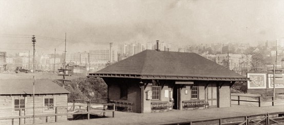
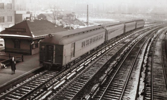
The old station at Marble Hill, pictured in 1927, and in 1946.
As we’ve toured the Hudson Line, we’ve encountered several stations with fairly confusing backgrounds. There are stations that nobody seems to be able to spell correctly, like “Spitendivel” and “Pokipse.” And there’s also Ardsley-on-Hudson, which isn’t in Ardsley, and shouldn’t be confused with the former Putnam Division station of Ardsley (despite the fact that the New York Central printed Ardsley-on-Hudson timetables as just Ardsley). Today’s tour takes us back to the Bronx, to another station also surrounded in a bit of confusion – Marble Hill.
 Â
 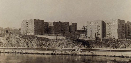
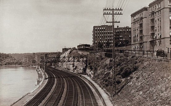
Views of the tracks near Marble Hill in 1935.
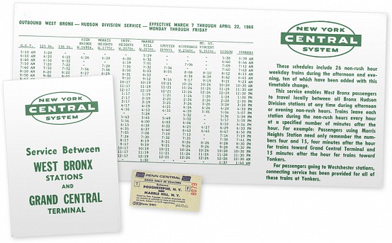
Special timetable with new daytime trains for the West Bronx stations, including Marble Hill… where that Bronx name is subject to debate.
If you were to look at any of the local timetables printed by the railroad, or even at a map, you’d likely get the idea that Marble Hill is part of the Bronx. On the other hand, I probably have at least one person that wants to hit me for calling Marble Hill part of the Bronx in the paragraph above. As New York City grew, we humans have significantly changed the landscape of Manhattan island and beyond – and I’m not just talking about massive buildings and skyscrapers. At one point in history, Marble Hill – named for the marble quarries once located here – was part of Manhattan island. When a canal was built to link the Harlem and Hudson Rivers, Marble Hill was separated from Manhattan and became its own island. And when, in 1914, the original course of the Harlem River was filled in, Marble Hill became connected geographically with the Bronx.

Map of the Marble Hill area from 1895 (when the canal was completed), and an aerial view of what the area looks like now. Note the “island” of Marble Hill on the 1895 map.
Politically, residents of Marble Hill vote for the Manhattan Borough President, Senator, City Councilman and Assemblyman. But due to the geographic nature of the area, Marble Hill is serviced by the police, emergency and fire department from the Bronx. Because of the general confusion, residents of Marble Hill end up in the archaic directory known as the “phone book” for both the Bronx and Manhattan, and letters written to either borough will be delivered by the US Postal Service. Nonetheless, Metro-North considers it part of the Bronx, and you’ll find Marble Hill listed in the local timetable for the West Bronx.
 Â
 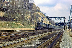
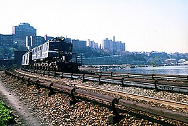
Around Marble Hill in the ’60’s. Photos by Herbert Maruska.
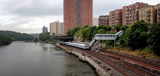
The current Metro-North station at Marble Hill is located a bit more north than the historical station operated by the New York Central. The old station had four tracks running by it (visible in the photos above), where the current station only has three. Both locations, however, are easily within walking distance of the 225th Street subway station, which has a significant effect on the ridership at the station.
In 2008, Metro-North reported that over 900 people were using Marble Hill station, but only 100 were using it to get to Grand Central. At least 300 people were getting off southbound Hudson Line trains and transferring to the subway. Another 300 were using Marble Hill for the reverse commute, possibly making the connection with the subway. Although it would likely lengthen the commute time, many people may be doing this as a cost saving measure. For example, a Tarrytown to Grand Central monthly would cost $266, but a Tarrytown to Marble Hill monthly only costs $88. Purchasing that along with an unlimited-ride Metro-Card would yield a savings of $74. For others, the subway may just provide easier access to their places of work.
 Â
  Â
 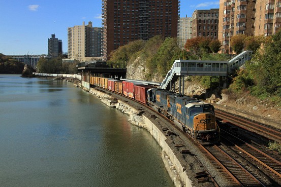
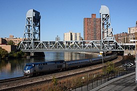
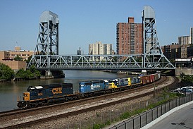
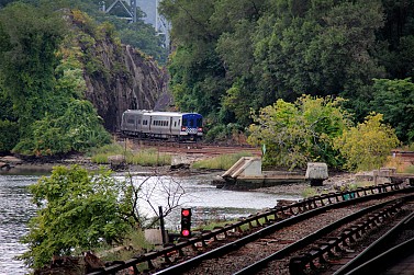
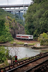
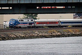
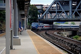
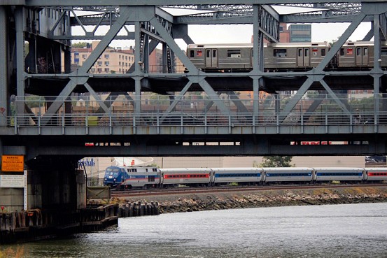
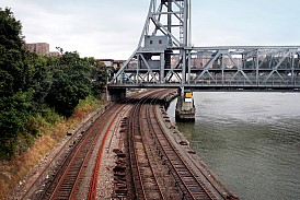
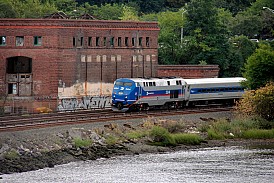
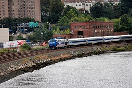
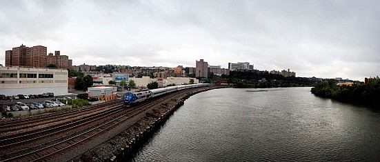
Some non-Metro-North action in Marble Hill. Seeing Amtrak trains at Marble Hill is a rarity, as they generally branch off from the Hudson Line before Spuyten Duyvil, unless for some reason they need to be detoured. Photos by Mike Foley.
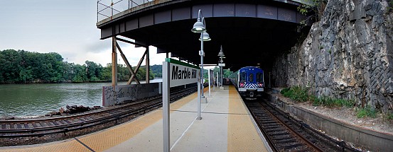
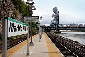
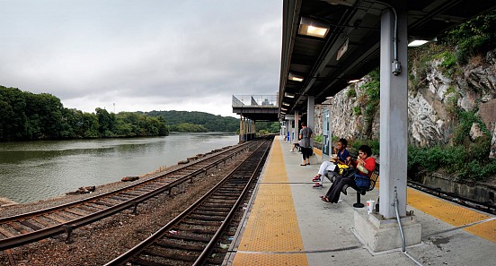
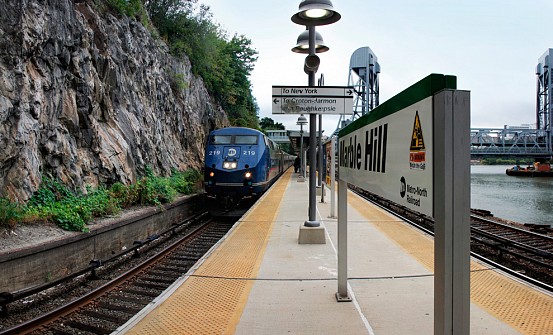
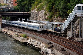
Besides the geographic anomaly and the unique ridership of Marble Hill, the station really is typical of Metro-North. You can find the same station signs, wire benches, blue trash bins, and ticket vending machines as almost every other station. The station itself consists of a short island platform, connected to street level with an overpass, which contains the aforementioned ticket machines. The station is located right alongside the river, and visible from the station is the Broadway Bridge, which connects both cars and subway trains to Manhattan.
That about wraps things up for Marble Hill – next week we’ll feature our final Tuesday Tour of the Hudson Line, Poughkeepsie.


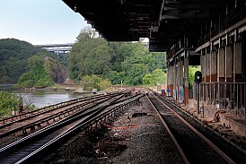
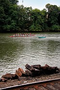
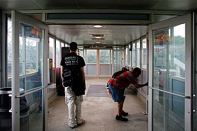
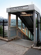
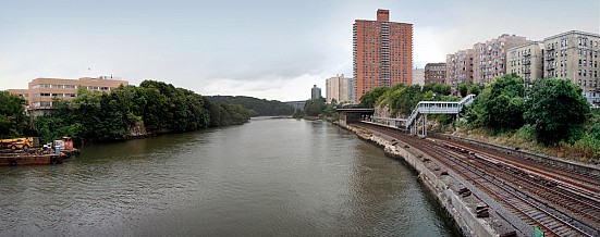
Great shots! The fifth picture (marblehill5.jpg) looks like it could have been taken in the Pacific Northwest.
When it comes down to it, the naming conventions in the state of NY still confuse the hell out of me. Southeast just pouted because everyone knew Brewster because of the railroad, and despite it being part of the town of Southeast, nobody knew that name. If you happen to dislike Southeast, though, you’ll likely find fault with Millerton (and several other small communities on the former Upper Harlem) – part of the town of North East (arguably worse, as it is two words) ;)
Most of us remember the 1st name of Brewster North for that
station, sometimes refered to as “B north” as a slang term.
Chappaqua and Millwood are part of the Town of New Castle.
Bedford Hills is part of the Town of Bedford.
Right, but as far as I knew, the town of Southeast was the one pressuring Metro-North for the name change… hence them being pouty :)
LIRR did the same thing to “Alantic Terminal” ,aka
Flatbush Ave on the Alantic Branch after decades of
“reconstruction” there due to Barclays Center opening
for business
Marble Hill was just west of BN tower (RR north) where the Put went it’s own way to Put Jct instead of sharing space with the Hudson line to Sedwick Ave. (SK tower) Just west of the station was FH tower and a local freight station.
So, 1 station left. Guess the question is, have you made your final decision on what’s next?
I’mma make one guess who the dashing gentleman in the NYNHH electrification shirt is….bahaha
Lol, no comment!
Thank you so much for the photo’s.
I want to see as many photo’s of the area before the Promenade was built (the reddish high rise behind the marble hill station in the current photos). I had moved into that building not too long after it was built and was told of the farm/marsh land that was one there.