If you are a regular reader of this blog, it should be rather obvious that I enjoy going on little photo taking adventures that are loosely based on the subject of railroading. Last week on my little jaunt to Amenia, I got called out on twitter. A rail adventure? Than what are you doing on the road? Not to mention, getting lost on the road. The GPS was quite delightful, sending us down single lane dirt roads in the middle of nowhere. The intent of the trip was to see the Harlem Valley Rail Trail. I’ve also had a yearning to check out some of the old New York Central rail stations that were part of the upper Harlem Line and closed back in the 70’s… at least the ones that have some sort of building or remnant left standing. The closest one being Sharon Station, in Amenia, but on the border with Sharon, Connecticut. So see, some rail adventures do require the use of cars!
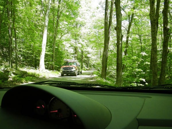
We took the scenic route through Connecticut, past Kent Falls and the Indian Reservation in which my aunt lives (which itself is a story on its own, but suffice it to say if you ever thought I was crazy, you haven’t met members of my family. I’m probably one of the more sane ones). The idea was to get up to Sharon, and then cut over the border to New York state. Well, the GPS had other ideas, because we started to get out into the middle of nowhere. And started noticing, oh look at that, the roads aren’t even paved here! And then the roads got so narrow, they were practically one laned. My mother, who was driving, was not amused.

We pulled over to the side to allow this truck to go by
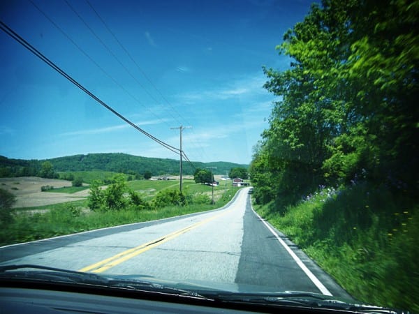
By the time we got managed to get within a few miles of where the GPS said the former station was, there were signs that a bridge was out. Great. First we get the dirt roads, now we get the lack of a bridge, with no visible detour. We never did find the old station that day. Nor did we really have enough time to walk anywhere on the rail trail. But sometimes adventures turn out different from how you’ve imagined them… but then, that is why they are adventures. We admired the rolling hills, the farm land. Amenia is after all pleasing to the eye, from the original latin word amoena.

An unintended accomplishment of the trip was the opportunity to take photos at most of the upper Harlem Line stations. After trying to find a way around the bridge that was out we practically ran right into the Tenmile River station. And on the way back, we figured it might be a safer bet to ride down route 22, as we had enough dirt roads for that day. Most of the stations happen to be located along that route as well. Clearly we had to stop at each. Though I think my mom was about to punch me at the end. I imagined her saying “Emily, I’ve had enough of these fucking train stations,” though she never did say it out loud.

Because I made this little logo thing in Illustrator, it means this project is totally legit.
For a while I had wanted to start a new project. Sort of like all the other projects I start and not finish… except this one I would finish, I swear. I want to go to every Harlem Line station and take photos. Not just any photos though. Getting a picture of me in front of the station sign is one requirement, and the second requirement is to take a panorama photo at the station. And that will be the project: the Panorama Project. From now until I have photographed every station, I will post a new panorama each Tuesday. It will be a Harlem Line Tour Tuesday, how grand! Be sure to check back tomorrow to see the first panorama and station profile, Wassaic, the current terminus of the Harlem Line, located in Amenia.


Existing Train stations, that I know of From Brewster north.
Brewster Village.
Pawling station #2, a early 60’s replacement after Pawling 1 burned.
Dover Plains
Coleman Station
Millerton #2, I think #1 is still there too.
Copake Falls (there is also an old P@E, nee Central new england station in Copake.
Chatham
When are you coming to visit the Walkway over the Hudson?